Byway South of Golden Pot
Introduction
The photograph on this page of Byway South of Golden Pot by Colin Smith as part of the Geograph project.
The Geograph project started in 2005 with the aim of publishing, organising and preserving representative images for every square kilometre of Great Britain, Ireland and the Isle of Man.

There are currently over 7.5m images from over 14,400 individuals and you can help contribute to the project by visiting https://www.geograph.org.uk
Byway South of Golden Pot
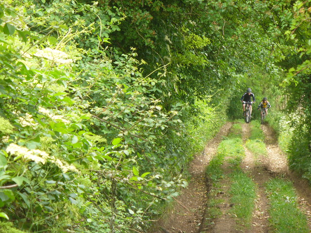
Image: © Colin Smith Taken: 28 May 2011
Rutted dirt road which, thankfully, still has grass growing between the ruts. Here, two mountain bikers are making their way uphill, eastwards from the New Odiham Road.
Images are licensed for reuse under creativecommons.org/licenses/by-sa/2.0
Image Location
Latitude
51.175906
Longitude
-0.986578