Roads to Ael-y-bryn and Pleasant View, Trehafod
Introduction
The photograph on this page of Roads to Ael-y-bryn and Pleasant View, Trehafod by Jaggery as part of the Geograph project.
The Geograph project started in 2005 with the aim of publishing, organising and preserving representative images for every square kilometre of Great Britain, Ireland and the Isle of Man.

There are currently over 7.5m images from over 14,400 individuals and you can help contribute to the project by visiting https://www.geograph.org.uk
Roads to Ael-y-bryn and Pleasant View, Trehafod
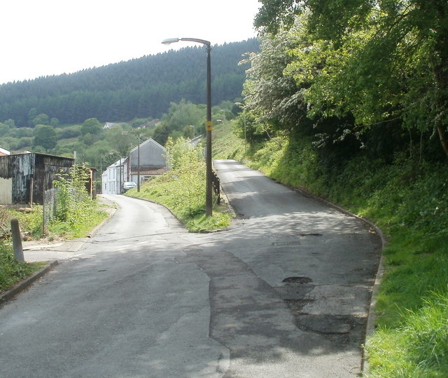
Image: © Jaggery Taken: 6 May 2011
The road on the right heads towards Pleasant View houses, about 200 metres away. The road on the left heads for a row of six houses on a street named Ael-y-bryn. Trehafod Road is about 30 metres behind the camera.
Images are licensed for reuse under creativecommons.org/licenses/by-sa/2.0
Image Location
Latitude
51.608755
Longitude
-3.384831