Oilseed rape near Great Smeaton
Introduction
The photograph on this page of Oilseed rape near Great Smeaton by Maigheach-gheal as part of the Geograph project.
The Geograph project started in 2005 with the aim of publishing, organising and preserving representative images for every square kilometre of Great Britain, Ireland and the Isle of Man.

There are currently over 7.5m images from over 14,400 individuals and you can help contribute to the project by visiting https://www.geograph.org.uk
Oilseed rape near Great Smeaton
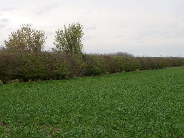
Image: © Maigheach-gheal Taken: 4 Apr 2011
The arable fields in the area are bound by well cut hedges.
Images are licensed for reuse under creativecommons.org/licenses/by-sa/2.0
Image Location
Latitude
54.437406
Longitude
-1.459743