Leicester Avenue looking east, Cleveleys
Introduction
The photograph on this page of Leicester Avenue looking east, Cleveleys by P L Chadwick as part of the Geograph project.
The Geograph project started in 2005 with the aim of publishing, organising and preserving representative images for every square kilometre of Great Britain, Ireland and the Isle of Man.

There are currently over 7.5m images from over 14,400 individuals and you can help contribute to the project by visiting https://www.geograph.org.uk
Leicester Avenue looking east, Cleveleys
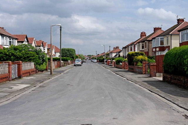
Image: © P L Chadwick Taken: 6 May 2011
The houses look very much like a 1930's design, so probably date from that period. This view is looking in the direction of the junction with Cleveleys Avenue.
Images are licensed for reuse under creativecommons.org/licenses/by-sa/2.0
Image Location
Latitude
53.881939
Longitude
-3.037755