Bridge Street houses, Trehafod
Introduction
The photograph on this page of Bridge Street houses, Trehafod by Jaggery as part of the Geograph project.
The Geograph project started in 2005 with the aim of publishing, organising and preserving representative images for every square kilometre of Great Britain, Ireland and the Isle of Man.

There are currently over 7.5m images from over 14,400 individuals and you can help contribute to the project by visiting https://www.geograph.org.uk
Bridge Street houses, Trehafod
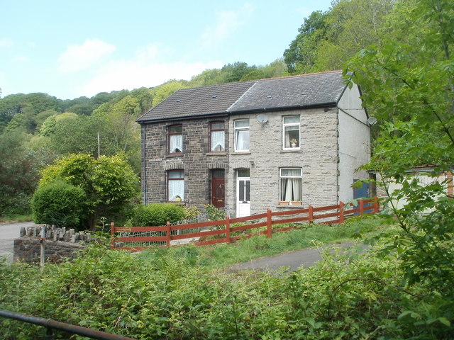
Image: © Jaggery Taken: 6 May 2011
Though numbered 7 and 8, these are now the only houses remaining on Bridge Street, located near its southern edge, close to Trehafod railway station http://www.geograph.org.uk/photo/2428498 and the River Rhondda.
Images are licensed for reuse under creativecommons.org/licenses/by-sa/2.0
Image Location
Latitude
51.61057
Longitude
-3.383442