Footpath from Trehafod railway station to Bridge Street
Introduction
The photograph on this page of Footpath from Trehafod railway station to Bridge Street by Jaggery as part of the Geograph project.
The Geograph project started in 2005 with the aim of publishing, organising and preserving representative images for every square kilometre of Great Britain, Ireland and the Isle of Man.

There are currently over 7.5m images from over 14,400 individuals and you can help contribute to the project by visiting https://www.geograph.org.uk
Footpath from Trehafod railway station to Bridge Street
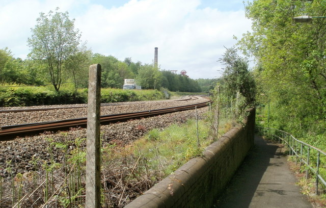
Image: © Jaggery Taken: 6 May 2011
The view from the footpath shows the S-shaped bend in line ahead. In the distance is a chimney and winding wheel in Rhondda Heritage Centre.
Images are licensed for reuse under creativecommons.org/licenses/by-sa/2.0
Image Location
Latitude
51.609671
Longitude
-3.383415