Junction of Wellhead Lane and Lincoln road Nocton
Introduction
The photograph on this page of Junction of Wellhead Lane and Lincoln road Nocton by Julian P Guffogg as part of the Geograph project.
The Geograph project started in 2005 with the aim of publishing, organising and preserving representative images for every square kilometre of Great Britain, Ireland and the Isle of Man.

There are currently over 7.5m images from over 14,400 individuals and you can help contribute to the project by visiting https://www.geograph.org.uk
Junction of Wellhead Lane and Lincoln road Nocton
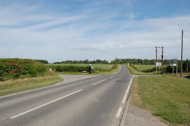
Image: © Julian P Guffogg Taken: 25 May 2011
Grange Lane to the left was closed at that time.
Images are licensed for reuse under creativecommons.org/licenses/by-sa/2.0
Image Location


Leaflet Map data © OpenStreetMap
Latitude
53.16427
Longitude
-0.434932