Road junction at the western boundary of Pontypool
Introduction
The photograph on this page of Road junction at the western boundary of Pontypool by Jaggery as part of the Geograph project.
The Geograph project started in 2005 with the aim of publishing, organising and preserving representative images for every square kilometre of Great Britain, Ireland and the Isle of Man.

There are currently over 7.5m images from over 14,400 individuals and you can help contribute to the project by visiting https://www.geograph.org.uk
Road junction at the western boundary of Pontypool
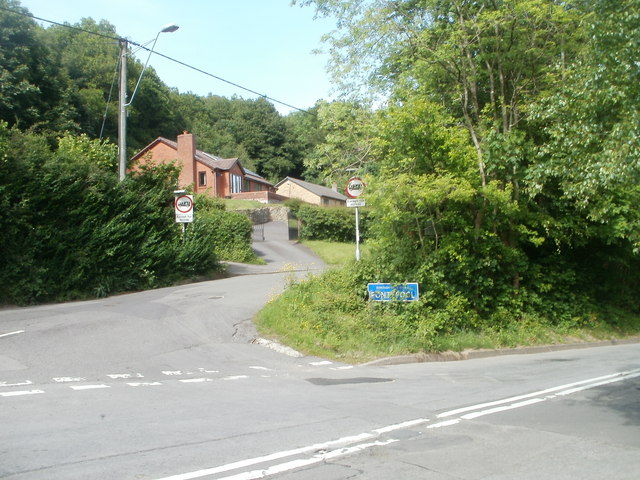
Image: © Jaggery Taken: 25 May 2011
Parke's Lane from the centre of the view joins Crumlin Road (also referred to as Old Crumlin Road) at the white-on-blue Pontypool boundary sign.
Images are licensed for reuse under creativecommons.org/licenses/by-sa/2.0
Image Location
Latitude
51.697566
Longitude
-3.059082