Grove Hall, Near Ferrybridge
Introduction
The photograph on this page of Grove Hall, Near Ferrybridge by Bill Henderson as part of the Geograph project.
The Geograph project started in 2005 with the aim of publishing, organising and preserving representative images for every square kilometre of Great Britain, Ireland and the Isle of Man.

There are currently over 7.5m images from over 14,400 individuals and you can help contribute to the project by visiting https://www.geograph.org.uk
Grove Hall, Near Ferrybridge
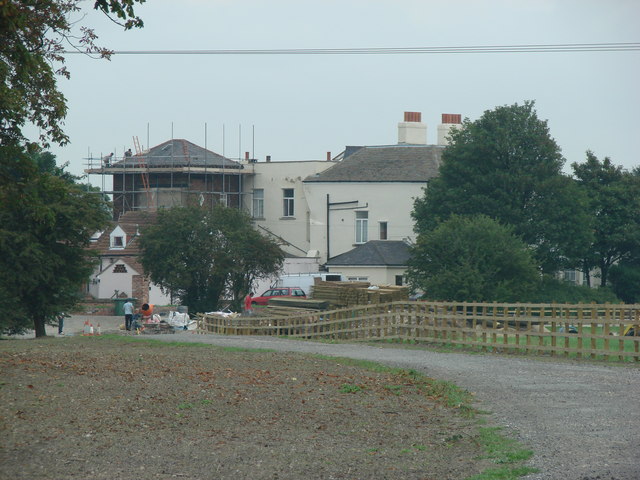
Image: © Bill Henderson Taken: 18 Sep 2006
Grove Hall is accessed from the southbound carriageway of the A1, south of Ferrybridge. It is in the north eastern corner of the O/S grid it occupies.
Images are licensed for reuse under creativecommons.org/licenses/by-sa/2.0
Image Location
Latitude
53.690377
Longitude
-1.26249