Footpath to Dronfield Woodhouse from Cowley
Introduction
The photograph on this page of Footpath to Dronfield Woodhouse from Cowley by Andrew Hill as part of the Geograph project.
The Geograph project started in 2005 with the aim of publishing, organising and preserving representative images for every square kilometre of Great Britain, Ireland and the Isle of Man.

There are currently over 7.5m images from over 14,400 individuals and you can help contribute to the project by visiting https://www.geograph.org.uk
Footpath to Dronfield Woodhouse from Cowley
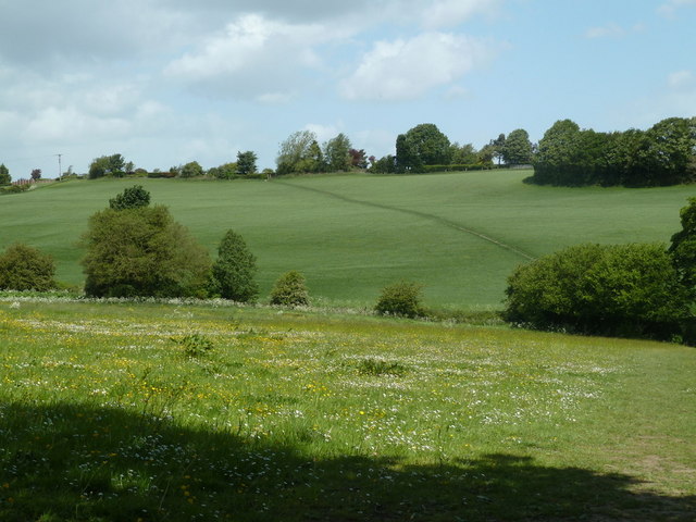
Image: © Andrew Hill Taken: 24 May 2011
The footpath crosses fields and a little valley west of Kitchen Wood.
Images are licensed for reuse under creativecommons.org/licenses/by-sa/2.0
Image Location
Latitude
53.297027
Longitude
-1.504541