
Footpath in Cwm Ysgiach near Felindre
Introduction
The photograph on this page of Footpath in Cwm Ysgiach near Felindre by Nigel Davies as part of the Geograph project.
The Geograph project started in 2005 with the aim of publishing, organising and preserving representative images for every square kilometre of Great Britain, Ireland and the Isle of Man.

There are currently over 7.5m images from over 14,400 individuals and you can help contribute to the project by visiting https://www.geograph.org.uk
Footpath in Cwm Ysgiach near Felindre
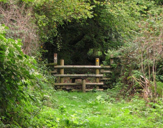
Image: © Nigel Davies Taken: 17 Sep 2006
On the 1940 map this is shown as a real lane. Now it is a varied footpath with some sections of grass, some of soft earth, and some rocky riverbed. Curiously there are a couple of stiles across it. These barriers can not be required to keep farm animals out. Maybe they are meant to discourage the use of quad bikes. Here we are looking north where the grassy path is still only ascending gently as it enters an wooded section.
Images are licensed for reuse under creativecommons.org/licenses/by-sa/2.0
Image Location

Latitude
51.712529
Longitude
-3.985819