Fields towards the edge of town
Introduction
The photograph on this page of Fields towards the edge of town by Andrew Hill as part of the Geograph project.
The Geograph project started in 2005 with the aim of publishing, organising and preserving representative images for every square kilometre of Great Britain, Ireland and the Isle of Man.

There are currently over 7.5m images from over 14,400 individuals and you can help contribute to the project by visiting https://www.geograph.org.uk
Fields towards the edge of town
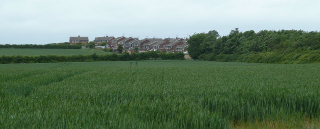
Image: © Andrew Hill Taken: 23 May 2011
There are large fields either side of Furnace Hillock road, largely unseen behind hedges. Here is a glimpse towards the Hasland edge of Chesterfield.
Images are licensed for reuse under creativecommons.org/licenses/by-sa/2.0
Image Location
Latitude
53.212408
Longitude
-1.3995