A617 from the Manor Farm bridge
Introduction
The photograph on this page of A617 from the Manor Farm bridge by Andrew Hill as part of the Geograph project.
The Geograph project started in 2005 with the aim of publishing, organising and preserving representative images for every square kilometre of Great Britain, Ireland and the Isle of Man.

There are currently over 7.5m images from over 14,400 individuals and you can help contribute to the project by visiting https://www.geograph.org.uk
A617 from the Manor Farm bridge
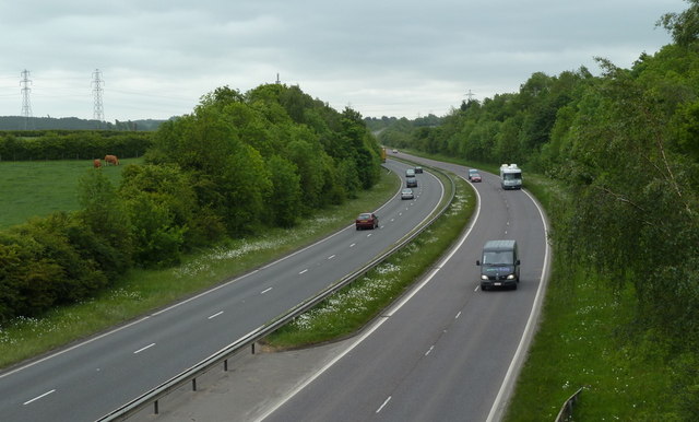
Image: © Andrew Hill Taken: 23 May 2011
The road heading away from Chesterfield towards the M1 and Mansfield.
Images are licensed for reuse under creativecommons.org/licenses/by-sa/2.0
Image Location
Latitude
53.212719
Longitude
-1.389912