The southern approach to Luckett
Introduction
The photograph on this page of The southern approach to Luckett by Rod Allday as part of the Geograph project.
The Geograph project started in 2005 with the aim of publishing, organising and preserving representative images for every square kilometre of Great Britain, Ireland and the Isle of Man.

There are currently over 7.5m images from over 14,400 individuals and you can help contribute to the project by visiting https://www.geograph.org.uk
The southern approach to Luckett
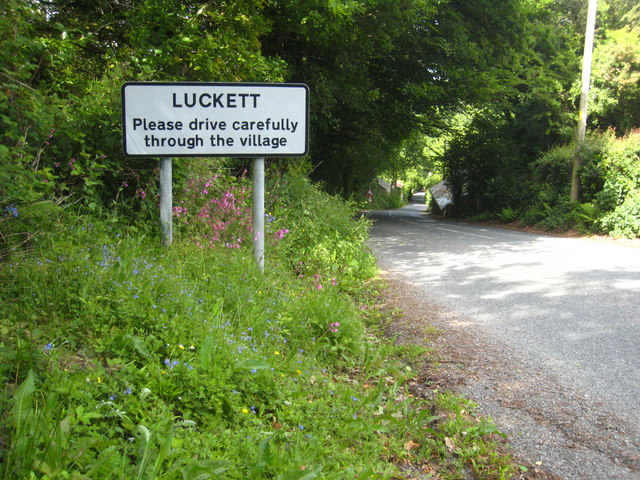
Image: © Rod Allday Taken: 22 May 2011
In the woodland to the left of the photo there are extensive remains of the mining works at New Consols (Wheal Martha) Mine.
Images are licensed for reuse under creativecommons.org/licenses/by-sa/2.0
Image Location
Latitude
50.537369
Longitude
-4.276716