Strelley: the former village school
Introduction
The photograph on this page of Strelley: the former village school by John Sutton as part of the Geograph project.
The Geograph project started in 2005 with the aim of publishing, organising and preserving representative images for every square kilometre of Great Britain, Ireland and the Isle of Man.

There are currently over 7.5m images from over 14,400 individuals and you can help contribute to the project by visiting https://www.geograph.org.uk
Strelley: the former village school
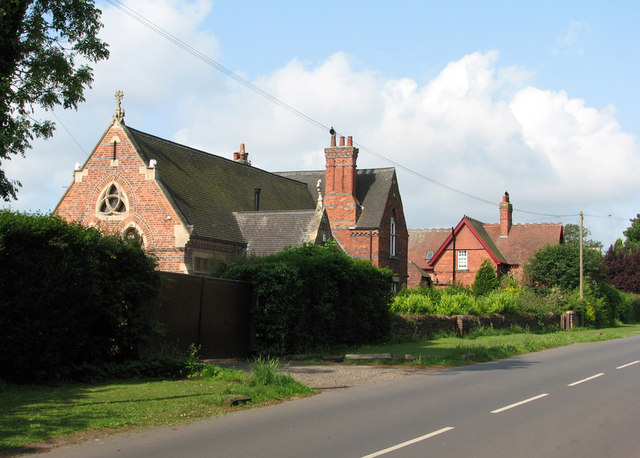
Image: © John Sutton Taken: 19 May 2011
Dating from the late Victorian period, the village school is now a house. Like the large red-brick house beyond, it is one of the newer buildings in the village.
Images are licensed for reuse under creativecommons.org/licenses/by-sa/2.0
Image Location
Latitude
52.971639
Longitude
-1.235914