Fleisirin (Flesherin)
Introduction
The photograph on this page of Fleisirin (Flesherin) by Anne Burgess as part of the Geograph project.
The Geograph project started in 2005 with the aim of publishing, organising and preserving representative images for every square kilometre of Great Britain, Ireland and the Isle of Man.

There are currently over 7.5m images from over 14,400 individuals and you can help contribute to the project by visiting https://www.geograph.org.uk
Fleisirin (Flesherin)
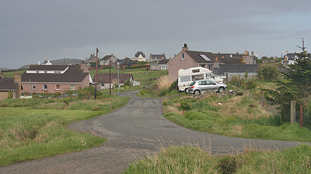
Image: © Anne Burgess Taken: 13 May 2011
A typical Lewis crofting township at the north end of the Eye Peninsula, though quite a lot of the traditional houses have been replaced by more modern buildings.
Images are licensed for reuse under creativecommons.org/licenses/by-sa/2.0
Image Location
Latitude
58.250068
Longitude
-6.173309