Valley leading down to Lambsowden Beach
Introduction
The photograph on this page of Valley leading down to Lambsowden Beach by Rod Allday as part of the Geograph project.
The Geograph project started in 2005 with the aim of publishing, organising and preserving representative images for every square kilometre of Great Britain, Ireland and the Isle of Man.

There are currently over 7.5m images from over 14,400 individuals and you can help contribute to the project by visiting https://www.geograph.org.uk
Valley leading down to Lambsowden Beach
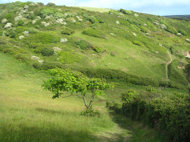
Image: © Rod Allday Taken: 15 May 2011
The SW Coast Path can be seen rising up the other side of the valley on the right of the photo.
Images are licensed for reuse under creativecommons.org/licenses/by-sa/2.0
Image Location


Leaflet Map data © OpenStreetMap
Latitude
50.234009
Longitude
-4.831731