Llanbadoc houses at Prescoed junction
Introduction
The photograph on this page of Llanbadoc houses at Prescoed junction by Jaggery as part of the Geograph project.
The Geograph project started in 2005 with the aim of publishing, organising and preserving representative images for every square kilometre of Great Britain, Ireland and the Isle of Man.

There are currently over 7.5m images from over 14,400 individuals and you can help contribute to the project by visiting https://www.geograph.org.uk
Llanbadoc houses at Prescoed junction
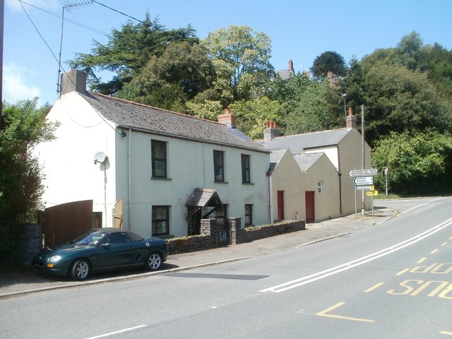
Image: © Jaggery Taken: 22 May 2011
Viewed along the road from Llangybi to Usk. Ahead, three signs point to the left. The top one (brown) shows Golf Course 2⅔ The middle one shows HMP/YOI (Her Majesty's Prison/ Young Offenders' Institution) Prescoed 2 Coed-y-paen 3 Distances are in miles. The bottom one shows Llandegveth Reservoir (no distance shown).
Images are licensed for reuse under creativecommons.org/licenses/by-sa/2.0
Image Location
Latitude
51.694354
Longitude
-2.905644