Bridleway Near Medstead Grange
Introduction
The photograph on this page of Bridleway Near Medstead Grange by Colin Smith as part of the Geograph project.
The Geograph project started in 2005 with the aim of publishing, organising and preserving representative images for every square kilometre of Great Britain, Ireland and the Isle of Man.

There are currently over 7.5m images from over 14,400 individuals and you can help contribute to the project by visiting https://www.geograph.org.uk
Bridleway Near Medstead Grange
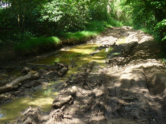
Image: © Colin Smith Taken: 21 May 2011
Shady track north of Medstead. The clay ground here has deep ruts from wheeled traffic and rainwater is retained in these, even after a very dry April-May.
Images are licensed for reuse under creativecommons.org/licenses/by-sa/2.0
Image Location
Latitude
51.138507
Longitude
-1.052005