Strelley Hall stable block
Introduction
The photograph on this page of Strelley Hall stable block by John Sutton as part of the Geograph project.
The Geograph project started in 2005 with the aim of publishing, organising and preserving representative images for every square kilometre of Great Britain, Ireland and the Isle of Man.

There are currently over 7.5m images from over 14,400 individuals and you can help contribute to the project by visiting https://www.geograph.org.uk
Strelley Hall stable block
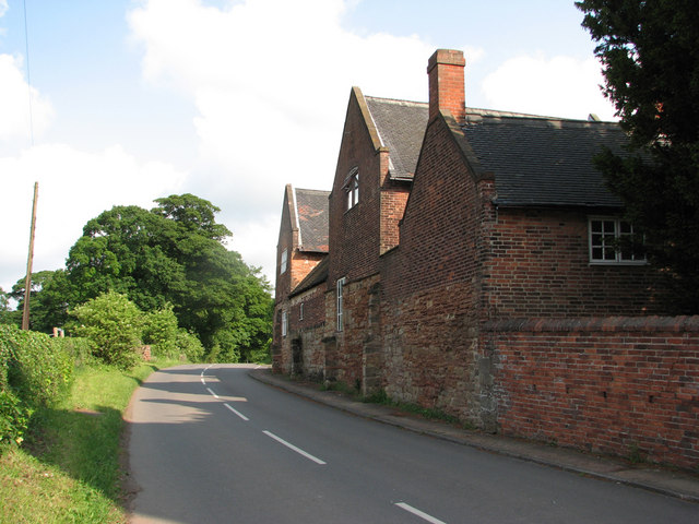
Image: © John Sutton Taken: 19 May 2011
The outbuildings and stable block of the present Hall, which dates from 1789-92, incorporate parts of the buttressed stone walls of the mediaeval manor house.
Images are licensed for reuse under creativecommons.org/licenses/by-sa/2.0
Image Location
Latitude
52.974503
Longitude
-1.248075