Wrington Hill
Introduction
The photograph on this page of Wrington Hill by Derek Harper as part of the Geograph project.
The Geograph project started in 2005 with the aim of publishing, organising and preserving representative images for every square kilometre of Great Britain, Ireland and the Isle of Man.

There are currently over 7.5m images from over 14,400 individuals and you can help contribute to the project by visiting https://www.geograph.org.uk
Wrington Hill
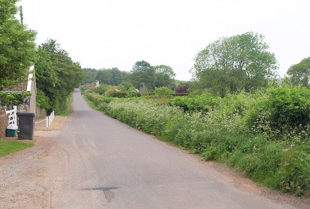
Image: © Derek Harper Taken: 16 May 2011
Having climbed from the village of Wrington, the lane runs straight and fairly level for nearly 700 metres past farms; on the immediate left is South View Farm.
Images are licensed for reuse under creativecommons.org/licenses/by-sa/2.0
Image Location
Latitude
51.373868
Longitude
-2.756928