Field, Blackmoor
Introduction
The photograph on this page of Field, Blackmoor by Derek Harper as part of the Geograph project.
The Geograph project started in 2005 with the aim of publishing, organising and preserving representative images for every square kilometre of Great Britain, Ireland and the Isle of Man.

There are currently over 7.5m images from over 14,400 individuals and you can help contribute to the project by visiting https://www.geograph.org.uk
Field, Blackmoor
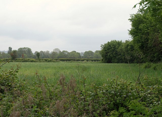
Image: © Derek Harper Taken: 16 May 2011
From the road shown in Image, looking across Langford Brook, with a line of trees along the field boundary to the right, which is followed by a parish boundary. The brook is also a parish boundary. So the camera is in Churchill parish, the field is in Wrington, and behind the trees is Burrington parish.
Images are licensed for reuse under creativecommons.org/licenses/by-sa/2.0
Image Location
Latitude
51.343748
Longitude
-2.770215