East Looe and Shutta
Introduction
The photograph on this page of East Looe and Shutta by Stuart Logan as part of the Geograph project.
The Geograph project started in 2005 with the aim of publishing, organising and preserving representative images for every square kilometre of Great Britain, Ireland and the Isle of Man.

There are currently over 7.5m images from over 14,400 individuals and you can help contribute to the project by visiting https://www.geograph.org.uk
East Looe and Shutta
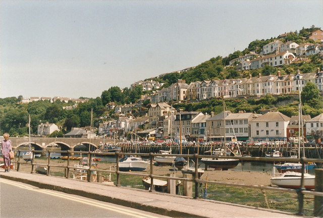
Image: © Stuart Logan Taken: Unknown
Here the busy A387 crosses the seven-arched Victorian bridge over the River Looe, and gives access to East Looe and Shutta on the hilltop above the river.
Images are licensed for reuse under creativecommons.org/licenses/by-sa/2.0
Image Location
Latitude
50.357639
Longitude
-4.454535