Glasgow Road, Clydebank
Introduction
The photograph on this page of Glasgow Road, Clydebank by Lairich Rig as part of the Geograph project.
The Geograph project started in 2005 with the aim of publishing, organising and preserving representative images for every square kilometre of Great Britain, Ireland and the Isle of Man.

There are currently over 7.5m images from over 14,400 individuals and you can help contribute to the project by visiting https://www.geograph.org.uk
Glasgow Road, Clydebank
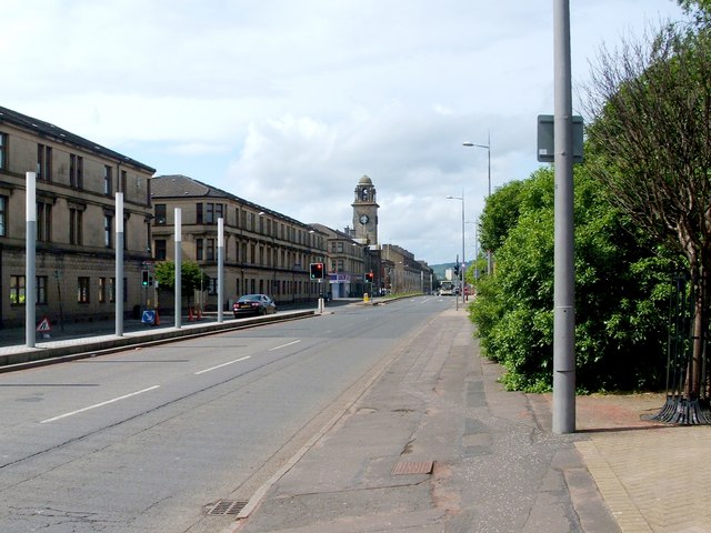
Image: © Lairich Rig Taken: 19 May 2011
This picture was taken with the Domesday Reloaded project in mind, and was an attempt to recreate an older photograph, which could (at the time) be seen at the BBC's Domesday Reloaded site. My photograph was taken from a point close to the junction with Alexander Street, and right across the road from Image The prominent tower on the left is that of Clydebank Town Hall, which was closed for renovation on this occasion, but which was scheduled to reopen in 2012.
Images are licensed for reuse under creativecommons.org/licenses/by-sa/2.0
Image Location
Latitude
55.900808
Longitude
-4.407109