Sheffield: the Victoria Hall
Introduction
The photograph on this page of Sheffield: the Victoria Hall by Chris Downer as part of the Geograph project.
The Geograph project started in 2005 with the aim of publishing, organising and preserving representative images for every square kilometre of Great Britain, Ireland and the Isle of Man.

There are currently over 7.5m images from over 14,400 individuals and you can help contribute to the project by visiting https://www.geograph.org.uk
Sheffield: the Victoria Hall
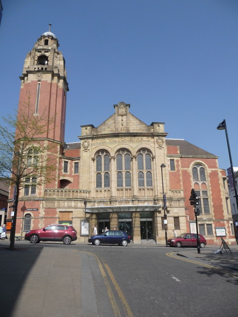
Image: © Chris Downer Taken: 19 Apr 2011
This church, whose symbol is misplaced slightly on the 1:50,000 map, stands in Norfolk Street and is, I believe, a part of the same UR church group which has the neighbouring building - see Image We are looking up at it from an access road to the underground car park.
Images are licensed for reuse under creativecommons.org/licenses/by-sa/2.0
Image Location


Leaflet Map data © OpenStreetMap
Latitude
53.381717
Longitude
-1.466577