Higher Stockham Farm
Introduction
The photograph on this page of Higher Stockham Farm by Derek Harper as part of the Geograph project.
The Geograph project started in 2005 with the aim of publishing, organising and preserving representative images for every square kilometre of Great Britain, Ireland and the Isle of Man.

There are currently over 7.5m images from over 14,400 individuals and you can help contribute to the project by visiting https://www.geograph.org.uk
Higher Stockham Farm
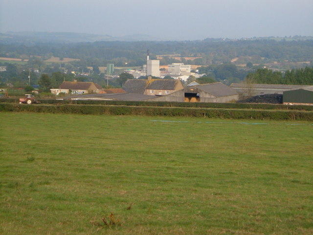
Image: © Derek Harper Taken: 16 Sep 2006
A farm on the Fosse Way. Seen across a field from the A358. In the background, nearly a mile beyond, is the Dairy Crest creamery at Chard Junction.
Images are licensed for reuse under creativecommons.org/licenses/by-sa/2.0
Image Location
Latitude
50.8361
Longitude
-2.957091