Sports ground east of Sidcup Road, SE9 (2)
Introduction
The photograph on this page of Sports ground east of Sidcup Road, SE9 (2) by Mike Quinn as part of the Geograph project.
The Geograph project started in 2005 with the aim of publishing, organising and preserving representative images for every square kilometre of Great Britain, Ireland and the Isle of Man.

There are currently over 7.5m images from over 14,400 individuals and you can help contribute to the project by visiting https://www.geograph.org.uk
Sports ground east of Sidcup Road, SE9 (2)
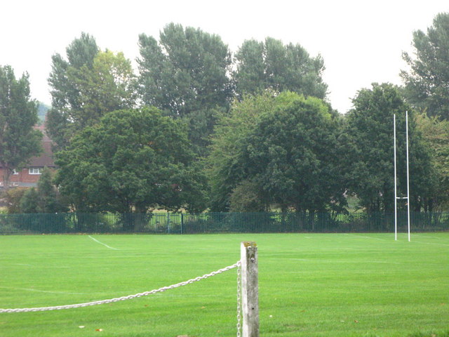
Image: © Mike Quinn Taken: 23 Sep 2010
The Quaggy River runs in the trees on the far side of the grounds.
Images are licensed for reuse under creativecommons.org/licenses/by-sa/2.0
Image Location
Latitude
51.447164
Longitude
0.033239