Campbellhays Hill
Introduction
The photograph on this page of Campbellhays Hill by Derek Harper as part of the Geograph project.
The Geograph project started in 2005 with the aim of publishing, organising and preserving representative images for every square kilometre of Great Britain, Ireland and the Isle of Man.

There are currently over 7.5m images from over 14,400 individuals and you can help contribute to the project by visiting https://www.geograph.org.uk
Campbellhays Hill
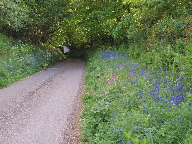
Image: © Derek Harper Taken: 12 May 2011
With bluebells and red campion by the roadside, the lane drops below trees to Charna Ford. The pale object is the roof of a house.
Images are licensed for reuse under creativecommons.org/licenses/by-sa/2.0
Image Location
Latitude
50.917921
Longitude
-3.675783