Tanybryn houses, Maerdy
Introduction
The photograph on this page of Tanybryn houses, Maerdy by Jaggery as part of the Geograph project.
The Geograph project started in 2005 with the aim of publishing, organising and preserving representative images for every square kilometre of Great Britain, Ireland and the Isle of Man.

There are currently over 7.5m images from over 14,400 individuals and you can help contribute to the project by visiting https://www.geograph.org.uk
Tanybryn houses, Maerdy
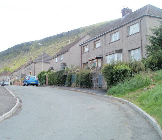
Image: © Jaggery Taken: 11 May 2011
Houses on the west side of Tanybryn, viewed from near the entrance http://www.geograph.org.uk/photo/2412869 to Maerdy Junior School.
Images are licensed for reuse under creativecommons.org/licenses/by-sa/2.0
Image Location
Latitude
51.669629
Longitude
-3.480684