Maerdy Conservative Workingmen's Club
Introduction
The photograph on this page of Maerdy Conservative Workingmen's Club by Jaggery as part of the Geograph project.
The Geograph project started in 2005 with the aim of publishing, organising and preserving representative images for every square kilometre of Great Britain, Ireland and the Isle of Man.

There are currently over 7.5m images from over 14,400 individuals and you can help contribute to the project by visiting https://www.geograph.org.uk
Maerdy Conservative Workingmen's Club
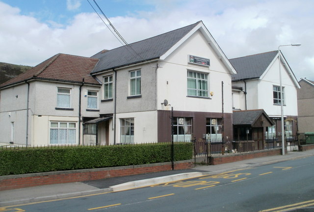
Image: © Jaggery Taken: 11 May 2011
Located on Richard Street (A4233), next door to Maerdy Ex-Servicemen's Club. http://www.geograph.org.uk/photo/2412839
Images are licensed for reuse under creativecommons.org/licenses/by-sa/2.0
Image Location
Latitude
51.670546
Longitude
-3.479267