Path into Bolsover
Introduction
The photograph on this page of Path into Bolsover by Andrew Hill as part of the Geograph project.
The Geograph project started in 2005 with the aim of publishing, organising and preserving representative images for every square kilometre of Great Britain, Ireland and the Isle of Man.

There are currently over 7.5m images from over 14,400 individuals and you can help contribute to the project by visiting https://www.geograph.org.uk
Path into Bolsover
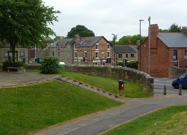
Image: © Andrew Hill Taken: 16 May 2011
The path cuts a bit of a corner behind Horsncroft Road. It follows the line of the old town walls and ditch dating from the 13th century.
Images are licensed for reuse under creativecommons.org/licenses/by-sa/2.0
Image Location
Latitude
53.22825
Longitude
-1.289028