Scout Hut Ouston
Introduction
The photograph on this page of Scout Hut Ouston by P Glenwright as part of the Geograph project.
The Geograph project started in 2005 with the aim of publishing, organising and preserving representative images for every square kilometre of Great Britain, Ireland and the Isle of Man.

There are currently over 7.5m images from over 14,400 individuals and you can help contribute to the project by visiting https://www.geograph.org.uk
Scout Hut Ouston
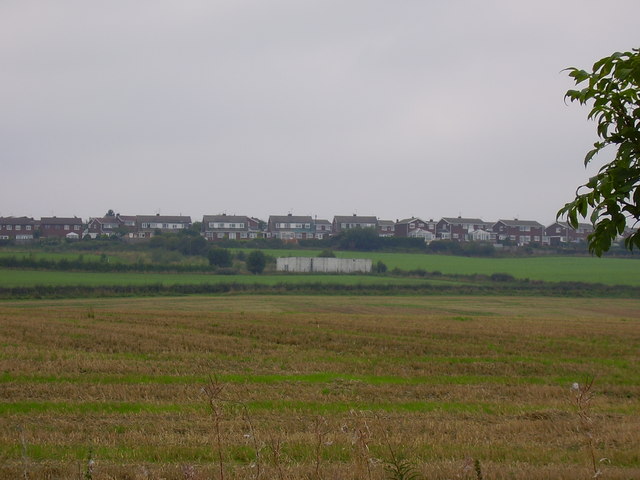
Image: © P Glenwright Taken: 16 Sep 2006
The white building in the foreground is the scout hut with the Ross Park housing estate on behind it.
Images are licensed for reuse under creativecommons.org/licenses/by-sa/2.0
Image Location
Latitude
54.88366
Longitude
-1.590026