Junction of Lower Leigh Road and B4246, Pontnewynydd
Introduction
The photograph on this page of Junction of Lower Leigh Road and B4246, Pontnewynydd by Jaggery as part of the Geograph project.
The Geograph project started in 2005 with the aim of publishing, organising and preserving representative images for every square kilometre of Great Britain, Ireland and the Isle of Man.

There are currently over 7.5m images from over 14,400 individuals and you can help contribute to the project by visiting https://www.geograph.org.uk
Junction of Lower Leigh Road and B4246, Pontnewynydd
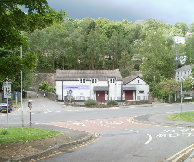
Image: © Jaggery Taken: 9 May 2011
Lower Leigh Road approaches the B4246, which is named Freeholdland Road to the left and Limekiln Road to the right. Facing the camera is Co-operative Funeralcare, one of about 800 branches of the company in the UK.
Images are licensed for reuse under creativecommons.org/licenses/by-sa/2.0
Image Location
Latitude
51.717344
Longitude
-3.059544