The Viking Way
Introduction
The photograph on this page of The Viking Way by Richard Croft as part of the Geograph project.
The Geograph project started in 2005 with the aim of publishing, organising and preserving representative images for every square kilometre of Great Britain, Ireland and the Isle of Man.

There are currently over 7.5m images from over 14,400 individuals and you can help contribute to the project by visiting https://www.geograph.org.uk
The Viking Way
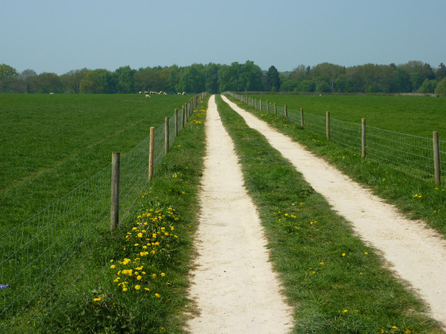
Image: © Richard Croft Taken: 20 Apr 2011
The Viking Way heading north towards Swine Syke Drain from Green Lane in Woodhall Spa
Images are licensed for reuse under creativecommons.org/licenses/by-sa/2.0
Image Location
Latitude
53.152376
Longitude
-0.233773