Crossing on the Tilbury Loop
Introduction
The photograph on this page of Crossing on the Tilbury Loop by Glyn Baker as part of the Geograph project.
The Geograph project started in 2005 with the aim of publishing, organising and preserving representative images for every square kilometre of Great Britain, Ireland and the Isle of Man.

There are currently over 7.5m images from over 14,400 individuals and you can help contribute to the project by visiting https://www.geograph.org.uk
Crossing on the Tilbury Loop
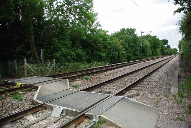
Image: © Glyn Baker Taken: 15 May 2011
This foot crossing on the Tilbury Loop shows that the up and down lines are on slightly different levels
Images are licensed for reuse under creativecommons.org/licenses/by-sa/2.0
Image Location
Latitude
51.535398
Longitude
0.44251