Gosterwood Manor Farm
Introduction
The photograph on this page of Gosterwood Manor Farm by Colin Smith as part of the Geograph project.
The Geograph project started in 2005 with the aim of publishing, organising and preserving representative images for every square kilometre of Great Britain, Ireland and the Isle of Man.

There are currently over 7.5m images from over 14,400 individuals and you can help contribute to the project by visiting https://www.geograph.org.uk
Gosterwood Manor Farm
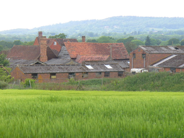
Image: © Colin Smith Taken: 15 May 2011
Huddle of roofs above the cereal field with the wooded Holmbury Hill in the background.
Images are licensed for reuse under creativecommons.org/licenses/by-sa/2.0
Image Location
Latitude
51.154012
Longitude
-0.382926