Field near Curriton
Introduction
The photograph on this page of Field near Curriton by Derek Harper as part of the Geograph project.
The Geograph project started in 2005 with the aim of publishing, organising and preserving representative images for every square kilometre of Great Britain, Ireland and the Isle of Man.

There are currently over 7.5m images from over 14,400 individuals and you can help contribute to the project by visiting https://www.geograph.org.uk
Field near Curriton
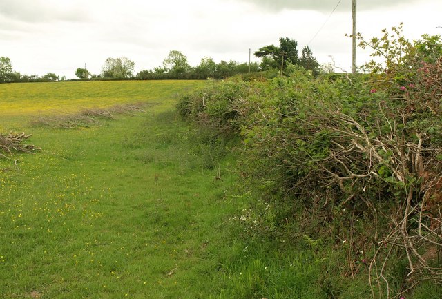
Image: © Derek Harper Taken: 12 May 2011
This is the field on the right of the lane shown in Image, looking in the opposite direction; the curiously-shaped conifer is at the end of Image The brushwood cuttings are presumably from the hedge.
Images are licensed for reuse under creativecommons.org/licenses/by-sa/2.0
Image Location
Latitude
50.884649
Longitude
-3.737143