Battle of Stoke Field
Introduction
The photograph on this page of Battle of Stoke Field by Andrew Tatlow as part of the Geograph project.
The Geograph project started in 2005 with the aim of publishing, organising and preserving representative images for every square kilometre of Great Britain, Ireland and the Isle of Man.

There are currently over 7.5m images from over 14,400 individuals and you can help contribute to the project by visiting https://www.geograph.org.uk
Battle of Stoke Field
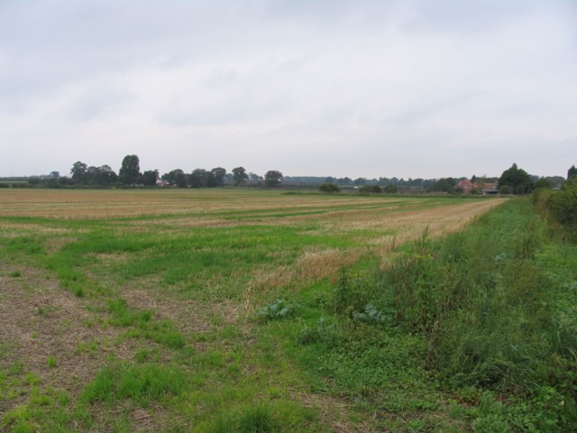
Image: © Andrew Tatlow Taken: 14 Sep 2006
The 1:50000 OS map shows this field as the battle ground but the 1:25000 OS map puts it about a mile away. More details may be found at http://www.battlefieldstrust.com/resource-centre/warsoftheroses/battleview.asp?BattleFieldId=42
Images are licensed for reuse under creativecommons.org/licenses/by-sa/2.0
Image Location
Latitude
53.037499
Longitude
-0.87995