View of Dingestow
Introduction
The photograph on this page of View of Dingestow by Philip Halling as part of the Geograph project.
The Geograph project started in 2005 with the aim of publishing, organising and preserving representative images for every square kilometre of Great Britain, Ireland and the Isle of Man.

There are currently over 7.5m images from over 14,400 individuals and you can help contribute to the project by visiting https://www.geograph.org.uk
View of Dingestow
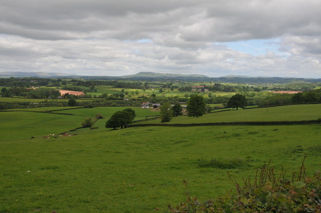
Image: © Philip Halling Taken: 14 May 2011
View over farmland at Dingestow with Dingestow Court in the middle distance. In the hill in the centre in the distance is Graig Syfyrddin, with Garway Hill to the right and the Black Mountains in the far distance on the left.
Images are licensed for reuse under creativecommons.org/licenses/by-sa/2.0
Image Location
Latitude
51.769695
Longitude
-2.794692