Field at Whitford
Introduction
The photograph on this page of Field at Whitford by Derek Harper as part of the Geograph project.
The Geograph project started in 2005 with the aim of publishing, organising and preserving representative images for every square kilometre of Great Britain, Ireland and the Isle of Man.

There are currently over 7.5m images from over 14,400 individuals and you can help contribute to the project by visiting https://www.geograph.org.uk
Field at Whitford
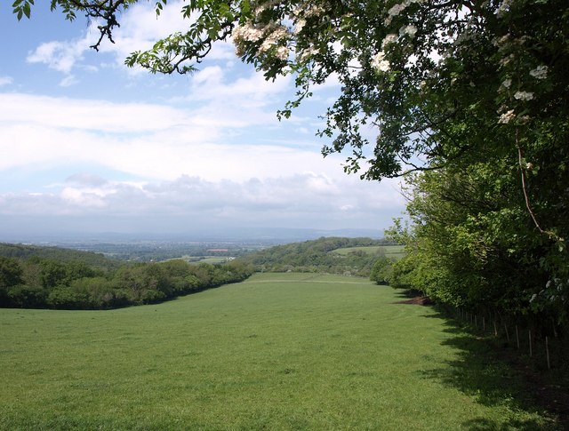
Image: © Derek Harper Taken: 7 May 2011
A view from the B3170 on Whitford Hill, with Triangle Copse on the right, and Long Copse on the left. Ash branches and hawthorn overhang the scene. Beyond is a view across the Vale of Taunton Deane.
Images are licensed for reuse under creativecommons.org/licenses/by-sa/2.0
Image Location
Latitude
50.954572
Longitude
-3.086236