Dock Wall and St Andrews Rd
Introduction
The photograph on this page of Dock Wall and St Andrews Rd by Glyn Baker as part of the Geograph project.
The Geograph project started in 2005 with the aim of publishing, organising and preserving representative images for every square kilometre of Great Britain, Ireland and the Isle of Man.

There are currently over 7.5m images from over 14,400 individuals and you can help contribute to the project by visiting https://www.geograph.org.uk
Dock Wall and St Andrews Rd
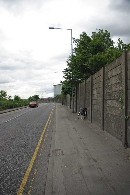
Image: © Glyn Baker Taken: 14 May 2011
St Andrews Rd just dips into TQ6375 at this point you would need a serious ladder to scale the dock wall!
Images are licensed for reuse under creativecommons.org/licenses/by-sa/2.0
Image Location
Latitude
51.458955
Longitude
0.359103