Demolition of Rijan, Daggons Road, Alderholt
Introduction
The photograph on this page of Demolition of Rijan, Daggons Road, Alderholt by Mike Emm as part of the Geograph project.
The Geograph project started in 2005 with the aim of publishing, organising and preserving representative images for every square kilometre of Great Britain, Ireland and the Isle of Man.

There are currently over 7.5m images from over 14,400 individuals and you can help contribute to the project by visiting https://www.geograph.org.uk
Demolition of Rijan, Daggons Road, Alderholt
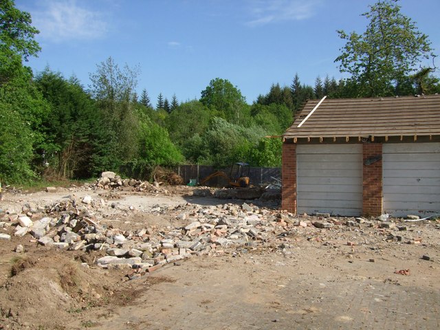
Image: © Mike Emm Taken: 14 May 2011
A photo of bungalow Rijan (built c1969) would be good if anyone has one. Planning consent given for demolition and replacement by Matthews Developments Bournemouth of 2 detached and 2 semi detached buildings with garages.
Images are licensed for reuse under creativecommons.org/licenses/by-sa/2.0
Image Location
Latitude
50.911854
Longitude
-1.837797