Old Luss Road
Introduction
The photograph on this page of Old Luss Road by Lairich Rig as part of the Geograph project.
The Geograph project started in 2005 with the aim of publishing, organising and preserving representative images for every square kilometre of Great Britain, Ireland and the Isle of Man.

There are currently over 7.5m images from over 14,400 individuals and you can help contribute to the project by visiting https://www.geograph.org.uk
Old Luss Road
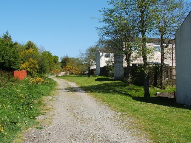
Image: © Lairich Rig Taken: 2 May 2011
This is the southern end of a route called Old Luss Road. At this end, the path begins at Image See also Image, which was taken from the gate that is visible ahead. The same gate is shown, from the other side, in a later picture: Image
Images are licensed for reuse under creativecommons.org/licenses/by-sa/2.0
Image Location
Latitude
56.010877
Longitude
-4.711569