Spacey Houses Farmyard
Introduction
The photograph on this page of Spacey Houses Farmyard by Mark Anderson as part of the Geograph project.
The Geograph project started in 2005 with the aim of publishing, organising and preserving representative images for every square kilometre of Great Britain, Ireland and the Isle of Man.

There are currently over 7.5m images from over 14,400 individuals and you can help contribute to the project by visiting https://www.geograph.org.uk
Spacey Houses Farmyard
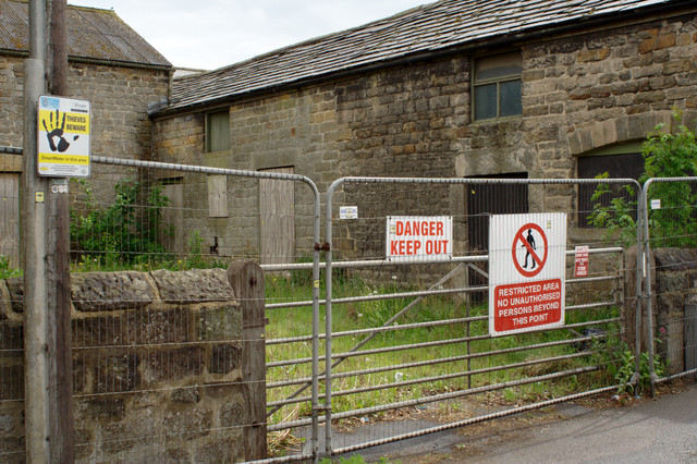
Image: © Mark Anderson Taken: 13 May 2011
There is a flush bracket bench mark to the right of the clump of nettles in the centre of the photograph. A closer view can be seen here: Image The farm site is planned for redevelopment and the planning notices can be seen here: Image
Images are licensed for reuse under creativecommons.org/licenses/by-sa/2.0
Image Location
Latitude
53.956604
Longitude
-1.530591