Coulsdon: Marlpit Lane
Introduction
The photograph on this page of Coulsdon: Marlpit Lane by Dr Neil Clifton as part of the Geograph project.
The Geograph project started in 2005 with the aim of publishing, organising and preserving representative images for every square kilometre of Great Britain, Ireland and the Isle of Man.

There are currently over 7.5m images from over 14,400 individuals and you can help contribute to the project by visiting https://www.geograph.org.uk
Coulsdon: Marlpit Lane
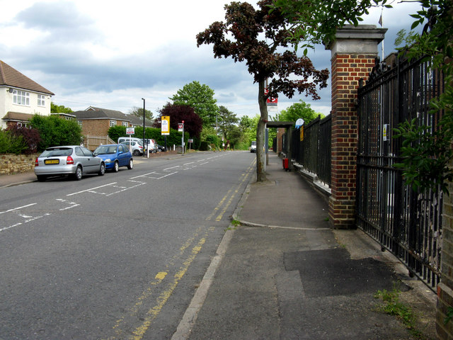
Image: © Dr Neil Clifton Taken: 12 May 2011
Looking uphill (southeast) from outside the TA centre, whose fence is seen on the right. The bus stops visible only have one bus and hour, and that only on Mondays to Saturdays day time. This is just a local route, No 404.
Images are licensed for reuse under creativecommons.org/licenses/by-sa/2.0
Image Location
Latitude
51.308782
Longitude
-0.124112