Former recreation ground south of Manor Way, SE3 (6)
Introduction
The photograph on this page of Former recreation ground south of Manor Way, SE3 (6) by Mike Quinn as part of the Geograph project.
The Geograph project started in 2005 with the aim of publishing, organising and preserving representative images for every square kilometre of Great Britain, Ireland and the Isle of Man.

There are currently over 7.5m images from over 14,400 individuals and you can help contribute to the project by visiting https://www.geograph.org.uk
Former recreation ground south of Manor Way, SE3 (6)
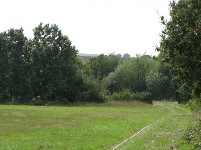
Image: © Mike Quinn Taken: 2 Sep 2010
A drain that feeds into Image runs in the trees at the far side of the grounds. On the right, at the end of the track, is the Weigall Road Flood Storage Area - see the satellite image http://openspace.nearby.org.uk/wheresthepath.htm?lat=51.45900401734033&lon=0.014843669224989173&gz=18&oz=10>=1.
Images are licensed for reuse under creativecommons.org/licenses/by-sa/2.0
Image Location
Latitude
51.458894
Longitude
0.015335