Brooklands Park / Castlebridge Road, SE3
Introduction
The photograph on this page of Brooklands Park / Castlebridge Road, SE3 by Mike Quinn as part of the Geograph project.
The Geograph project started in 2005 with the aim of publishing, organising and preserving representative images for every square kilometre of Great Britain, Ireland and the Isle of Man.

There are currently over 7.5m images from over 14,400 individuals and you can help contribute to the project by visiting https://www.geograph.org.uk
Brooklands Park / Castlebridge Road, SE3
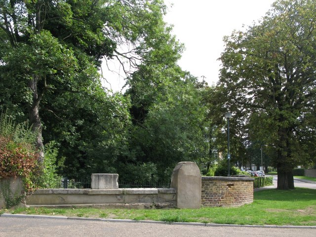
Image: © Mike Quinn Taken: 2 Sep 2010
The low stone wall (left) marks where the Middle Kid Brook passes under the road. It then flows along the line of Image
Images are licensed for reuse under creativecommons.org/licenses/by-sa/2.0
Image Location
Latitude
51.462254
Longitude
0.018132