Bridge over the Benlister Burn
Introduction
The photograph on this page of Bridge over the Benlister Burn by M J Richardson as part of the Geograph project.
The Geograph project started in 2005 with the aim of publishing, organising and preserving representative images for every square kilometre of Great Britain, Ireland and the Isle of Man.

There are currently over 7.5m images from over 14,400 individuals and you can help contribute to the project by visiting https://www.geograph.org.uk
Bridge over the Benlister Burn
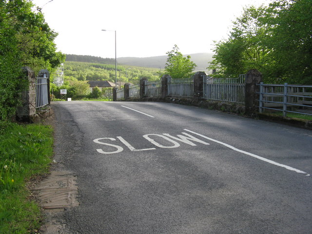
Image: © M J Richardson Taken: 8 May 2011
Carrying the A841 island circular road south to Whiting Bay.
Images are licensed for reuse under creativecommons.org/licenses/by-sa/2.0
Image Location
Latitude
55.52811
Longitude
-5.132608