Castle Hill
Introduction
The photograph on this page of Castle Hill by Lairich Rig as part of the Geograph project.
The Geograph project started in 2005 with the aim of publishing, organising and preserving representative images for every square kilometre of Great Britain, Ireland and the Isle of Man.

There are currently over 7.5m images from over 14,400 individuals and you can help contribute to the project by visiting https://www.geograph.org.uk
Castle Hill
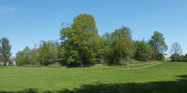
Image: © Lairich Rig Taken: 30 Apr 2011
The Castlehill area of Dumbarton is named after this hill, which is located at the north-eastern corner of the Image For further details, and for the history that was associated (by tradition) with Castle Hill, see Image, which was taken about three weeks earlier.
Images are licensed for reuse under creativecommons.org/licenses/by-sa/2.0
Image Location
Latitude
55.948731
Longitude
-4.587882