Richmond Road on a May evening
Introduction
The photograph on this page of Richmond Road on a May evening by John Sutton as part of the Geograph project.
The Geograph project started in 2005 with the aim of publishing, organising and preserving representative images for every square kilometre of Great Britain, Ireland and the Isle of Man.

There are currently over 7.5m images from over 14,400 individuals and you can help contribute to the project by visiting https://www.geograph.org.uk
Richmond Road on a May evening
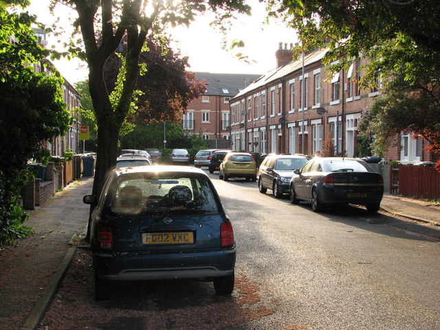
Image: © John Sutton Taken: 4 May 2011
West Bridgford's population rose from 293 in 1881 to 7,018 twenty years later. It is essentially a Victorian and Edwardian suburb, which is why the narrow strip of new buildings between Radcliffe Road and Bridgford Park and running parallel to Stratford Road between Bridgford Road and Melton Road shows up so clearly on aerial photos. The houses in Cricketers Close and Radcliffe Mount which close off the end of Richmond Road stand where there was once a railway embankment, now levelled, which carried the Nottingham-Melton-Oakham-Corby-Kettering line on which the fastest trains from Nottingham Midland to London St Pancras ran.
Images are licensed for reuse under creativecommons.org/licenses/by-sa/2.0
Image Location
Latitude
52.93791
Longitude
-1.128632